
Tracing St. Joseph Street Records
The St. Joseph street directory is a chain of address-keyed sources, not a single public roll. Start with the address as USPS recognizes it. Next, use the assessor form to identify a parcel and owner label. GIS adds the situs, boundaries, subdivision, and nearby parcel geometry. The recorder then supplies the title trail through names and legal description. The precinct register and library street indexes add limited resident or historical context. Keep the evidence dated and separate tax ownership from actual occupancy.
- Use USPS ZIP Lookup to preserve the standardized address, postal ZIP, and search date.
- Search Buchanan Property Tax Inquiry with the house number, street name, city, owner name, or parcel number.
- Open the parcel in Buchanan GIS and note situs, parcel number, legal-map layers, corporate limit, and adjacent parcels.
- Search recorder grantor and grantee name variants for instruments tied to the parcel or legal description.
- Request an inspectable precinct register by street, subject to protection rules, and use the library street section for a historical lead.
That sequence answers a careful address question. It does not create a complete list of current residents along a street.
St. Joseph Assessor Search Fields
Buchanan County Property Tax Inquiry is the first county portal to try for a St. Joseph street directory search. Its real-estate form separates parcel number, owner name, house number, street name, and city. At least one criterion is required, although no individual field is marked required. The displayed research timestamp was July 20, 2026 at 17:15, so record the portal date when a property question depends on current assessment data.
| Property Tax Inquiry field | Street-directory use | Required |
|---|---|---|
| Parcel Number | Best when GIS or a prior tax record provides a precise identifier. | One field required |
| Owner Name | Search the tax-record owner label or a known owner-name variant. | One field required |
| House Number | Use with the separate street field for an address search. | One field required |
| Street Name | Search a named St. Joseph street without relying on a combined line. | One field required |
| City | Apply St. Joseph to narrow a street-name query. | One field required |
The Buchanan County Assessor states that it prepares the annual assessment roll, typically by July 1, and manages more than 40,000 real-tax parcels. The roll and a later tax bill can reflect different parts of the annual process.
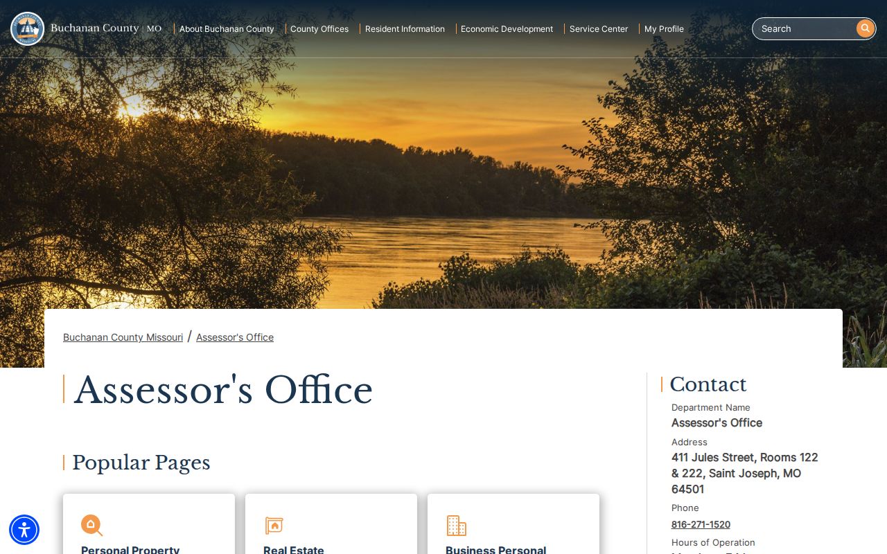
The Assessor's office is at 411 Jules Street, Rooms 122 and 222, and provides a counter and phone route when a portal result needs clarification. A parcel-card result still must be read as an assessment record, not a household list.
Where a result displays both a situs address and a mailing address, record them as separate fields. The situs locates the parcel on the map. A mailing address can be a tax-bill destination or correspondence address. The live parcel-card result was not opened during the research, so its precise mailing-address label, historic fields, and deed references need confirmation on the target parcel.
St. Joseph Parcel Map Layers
Buchanan GIS is the map step in a street directory search. Its layer inventory includes parcels, parcel numbers, acres, situs addresses, owner name and owner last name, appraised-value fields, subdivisions, original lots, tracts, blocks, rights-of-way, streams, historic places, roads, railroads, corporate limits, and unincorporated towns. These layers make it possible to compare the location printed in a tax record with legal and geographic context.
Use the map to identify adjacent parcel polygons, not to infer relationships among the people linked to them. The GIS office says tax maps are updated daily and maintains ownership split and combine work for the county and City of St. Joseph. Exact live map-search labels and result-panel fields were not captured in the research, so do not promise a specific export or search field until it is checked in the active viewer.
Note: A street can have a Saint Joseph postal address while the GIS corporate-limit layer places its parcel outside city limits.
St. Joseph Deed Chain Searches
The street directory becomes a title-history search after the parcel number and legal description are known. Search the Recorder's grantor/grantee index for the current and former owner-name variants, rather than relying only on a street address. Record the grantor, grantee, instrument type, instrument number, book and page, recording date or time, and legal description. Then follow the prior deed's grantor backward until the needed date or historical-book boundary.
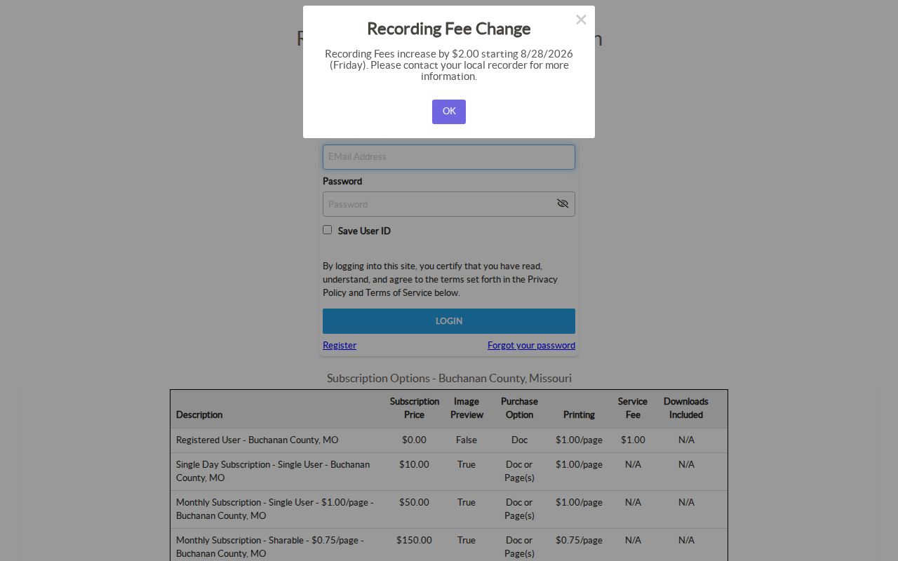
Buchanan iCounty is a registration and subscription portal. A registered user is listed at $0 without image preview, while listed one-day and monthly tiers provide preview access and charge for printing under the terms shown. The current online cutoff was not visible without login. Historical grantor/grantee books are a separate county route, and the Recorder can confirm image availability or copy procedure.
The Recorder of Deeds is at 411 Jules Street, Room 103. Its public page says a document received after 4:00 p.m. is recorded the next business day, so delivery time and recording date can differ.
St. Joseph Address Geographies
Four labels can describe the same St. Joseph address, and they should not be blended in a street directory result. USPS provides a postal ZIP. The assessor and GIS provide parcel and situs data. The GIS corporate-limit layer distinguishes municipal geography from an unincorporated area. The city neighborhood map gives a named community context. Each is useful, but each answers a different question.
A ZIP is not a neighborhood boundary, and a neighborhood name is not an official parcel assignment. The city map has 65 named areas, while the state table lists eight Saint Joseph ZIP rows. For an outlying postal address, compare the USPS result with the GIS corporate-limit and unincorporated-town layers before writing any city-geography conclusion. The research did not locate a complete postal-city/city-limit mismatch list.
St. Joseph Address Record Coverage
Address-record sources can be arranged in a practical St. Joseph street directory sequence. The assessor and GIS provide present parcel context. The recorder supplies recorded title information. Voter records offer a narrow, legally limited registration route. City permit and code materials exist through the appropriate custodian, not through a verified universal public case-search tool. Historic maps and directory indexes fill earlier address periods.
| Address-keyed record | What it can show | Access channel | Limit |
|---|---|---|---|
| Property Tax Inquiry | Parcel and current assessment owner label | Free county form; Assessor counter or phone | Owner is not occupant |
| GIS parcel layers | Parcel geometry, situs, layers, adjacent parcels, and limits | Public map or GIS office | Historical archive dates are not fully published |
| Recorder instruments | Title transfers and legal descriptions | iCounty, historical books, Recorder office | Image access and online cutoff vary |
| Precinct register | Permitted voter fields arranged by street or alphabetically | County Clerk inspection route | Protected addresses and statutory limits apply |
| Directories and maps | Dated resident or business lead and building context | Library shelves, research request, map collection | Year-specific and incomplete |
A property workflow is evidence assembly. It can show a parcel, a recorded transfer, or a historical listing. It cannot by itself prove current occupancy or every person associated with an address.
Use the access channels in sequence when the web route stops: call or visit the Assessor, GIS, Recorder, or County Clerk; ask the court clerk about public-terminal documents; and send a focused Sunshine request for a specific address and date range. The library and State Archives are the documented historical fallbacks when a current portal has no earlier record.
St. Joseph Permit Record Requests
St. Joseph Building Development describes permit categories for work such as decks, fences, roofing, additions, garages, heating equipment, remodeling, electrical, plumbing, and structural work. The research did not locate a public searchable permit-case portal, complete permit index, or universal online image archive. A permit search therefore needs a targeted request to the Building Division or city records custodian instead of a broad name search.
Give the street address or parcel, project type, approximate year, and requested fields: permit number, issue date, permit type, applicant or contractor if public, inspection status, fees, and final or closed status. For code enforcement, request releasable notices, inspection dates, violation type, and closure or abatement status. Sensitive complainant information can be restricted. Code enforcement is a dated administrative record, not proof that a notice remained sustained after correction or appeal.
Under Missouri's Sunshine Law, ask for public, non-exempt portions and a fee estimate before processing. A custodian ordinarily responds no later than the end of the third business day, unless a delay and earliest response date are given.
St. Joseph Street Index Research
For an earlier street directory question, the St. Joseph Public Library is the documented route. Its city-directory holdings run from 1859 through 2018 with listed gaps. Use both a volume's alphabetical resident or business section and its street index when available. The library Reference Department also holds the 1877 atlas and Sanborn materials from 1883, 1888, 1897, 1904, 1911, 1935, and 1938, which can test whether a building footprint or block context changed.
No separately digitized, complete reverse-directory run was located in the research. The library research request can check old directories, phonebooks, newspapers, yearbooks, obituaries, and local history for $10 per 30 minutes for out-of-town requests, capped at two hours and $40. A request should supply address variants, date window, and a request to check resident and street sections. The fuller collections treatment is in the St. Joseph directory book collection.
St. Joseph Address Terms Defined
Address records use several terms that look similar but do different work in the St. Joseph street directory chain. Define them before combining results. The legal description and parcel number normally link the assessor, GIS, and recorder more reliably than a street spelling alone. A historical directory is a useful extra layer, but it describes a publication year rather than a deed or tax event.
- Parcel
- A county identifier for a mapped property unit.
- Situs address
- The mapped property location, distinct from a tax-bill mailing address.
- Plat
- A recorded map showing lots, blocks, streets, or subdivisions.
- Criss-cross directory
- A street-oriented historical directory that can point from an address to a listed person or business.
No official source reviewed established a citywide St. Joseph renumbering or street-renaming project and year. Do not force an old number into a modern address. Compare the 1877 atlas, the selected Sanborn sheet, directories, legal descriptions, and historic plat information instead.
St. Joseph Street Directory Limits
A St. Joseph street directory can show parcel and record connections, not every person who lives on a block. A tax owner may use a mailing address elsewhere. A permit applicant is not necessarily the owner. A voter record is evidence of a registration record on a given date, not current occupancy. Utility customer information and driver data are not public street-directory shortcuts, and protected voter, court, vital, and Safe at Home records must remain protected.
Lawful use. Use St. Joseph address records for personal, lawful research, not to monitor, threaten, or harass another person. Missouri law treats repeated surveillance or harassment as serious conduct.
Use two independent, dated sources before matching a name to an address. If an address has a Safe at Home substitute route, a protected voter record, sealed court material, or restricted vital-record result, stop there and document the lawful limit.